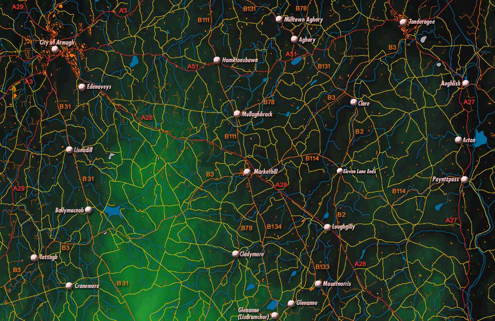
Over the last three hundred years, the road map of the countryside has changed considerably. The road between Newry and Armagh has always been an important route but the course of the main road and many other roads in the area has altered as bridge- and road-making technology and transport vehicles have improved. In the days of the horse and cart, roads meandered around hills to avoid the climb. Modern motor vehicles can travel more easily up hills and, as a result, roads can be often made to go straight across hills and valleys. Many people still remember the 'old road' between Markethill and Armagh through Mullaghbrack, Derryraine and Edenknappagh, the main road before the construction of the A28.
Equally, the road network has changed over time as some settlements have declined in size and importance, some disappearing altogether, and as others have grown.