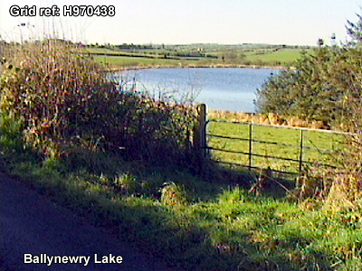
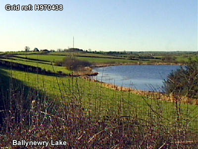
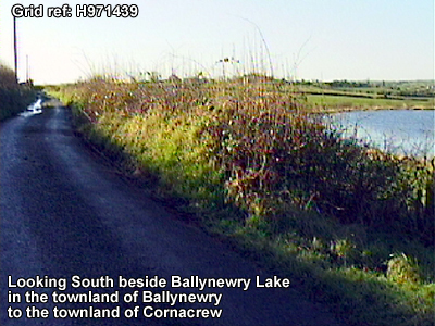
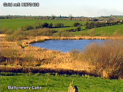
BALLYNEWRY LAKE
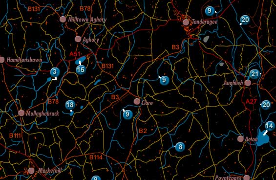
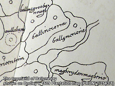
Ballynewry Lake is labelled 3 on the map. It is shown on Bodley's 1609 plantation map.
The lake was described in 1838 in the Ordnance Survey Memoirs:
"Ballynewry
lake, situated nearly three-quarters of a mile south west of Marlacoo lake,
is elevated 252 feet above the sea, length from north east to south west 285
yards, breadth from north west to south east 200 yards. It is situated partly
in the townland of Cornacrew and partly in the townland of Ballynewry [in the
parish of Mullaghbrack]. "
