SKARVA LOUGH
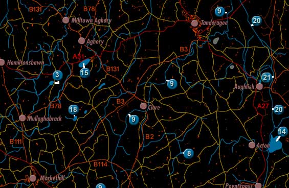
Scarva Lough is labelled 21 on the map. It was also called Lough Moss (according to the 1838 Ordnance Survey Memoirs).
The lake was described twice in 1838 in the Ordnance Survey Memoirs:
"...Lough Moss or Scarva lough, situated in the townland of Aughlish [in
the parish of Ballymore], 2 miles to the south east of Tanderagee at the height
of 63 feet above the sea; extreme length from north to south 285 yards, extreme
breadth from east to west 132 yards."
"In the north end of Aughlish townland there is a small lake called Scarvagh
lough, 64 feet above the sea. It contains about 7 acres".


