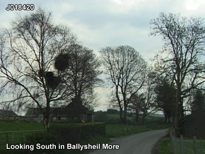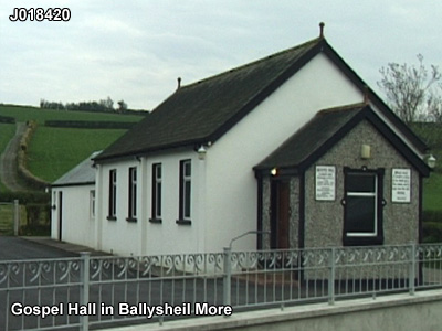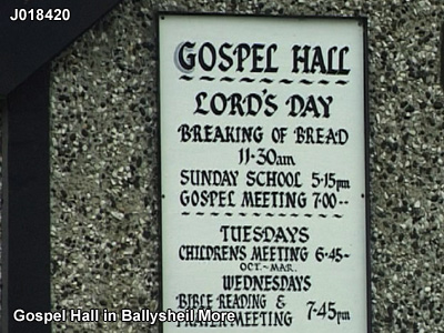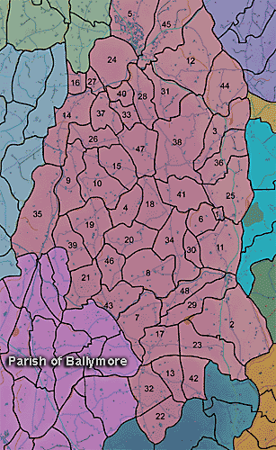
The townland of Ballysheil More is in the parish of Ballymore in Armagh County. It is labelled number 10 on the map. J021423
The Environment and Heritage Service Sites and Monuments Record (2002) notes the following in this townland:
Enclosure of uncertain period
SMR NO: ARM 018:036
Irish Grid Reference: J02664171
Townland: BALLYSHEIL MORE
CONDITION: No visible remains
The E half of a circular "Fort" c.50m in diam. is shown on the OS 6" map of 1835. The map edition of 1863 however indicated only the site of a somewhat small "Fort". The monument was located on a natural eminence overlooking lower ground to the S, but overlooked itself by higher ground to the N. There are no visible remains.
The Environment and Heritage Service Agency Sites and Monuments Record (2002) notes the following in this townland:
Rath from the Early Christian period
SMR NO: ARM 017:004
GRIDREF: J02004273
"A circular 'earthwork' is shown on the 1835 & 1863 OS 6"maps, but agricultural improvements have removed almost all trace. Only a short length of the perimeter on the S has survived, preserved by a field boundary. There is a bank 1.8m wide x 1.5m above the base of a ditch 3.5m wide x 0.5m deep. Field reports of the 1980s record more extensive remains comprising a low circular platform 0.61.2m high, measuring c.36.5m N-S x 36m E-W.A bank & recut ditch also survived around the N, but nothing is now visible. "
PRONI records: OS/6/2/13/1 (Surveyed 1834-35. Engraved 1835.); OS/6/2/13/2 (Surveyed 1834-35. Revised 1860. Engraved 1863 (Stat file copy).); OS/6/2/13/3 (Surveyed 1834-35. Revised 1905-06. Published 1930.); OS/6/2/13/4 (Surveyed 1905-06. Revised 1954-55. Levelled 1888 and 1892 and 1902, 1905-1906. Levels part revised 1948. Published 1958. (2 copies).); OS/6/2/17/1 (Surveyed 1835. Engraved 1835.); OS/6/2/17/2 (Surveyed 1835. Engraved 1835. Revised 1860. Engraved 1863.); OS/6/2/17/3 (Surveyed 1835. Revised 1906. Published 1908. Reprinted 1929, 1932.); OS/6/2/17/4 (Surveyed 1906. Revised 1954-5. Levelled 1889, 1892 and 1906. Published 1958 (2 copies).); OS/6/2/18/1 (Surveyed 1835. Engraved 1835.); OS/6/2/18/2 (Surveyed 1835. Engraved 1835. Revised 1860. Engraved 1863.); OS/6/2/18/3 (Surveyed 1835. Revised 1906. Published 1908.); OS/6/2/18/4 (Surveyed 1835. Revised 1906. Published 1908. (2 copies - 1st a reprint 1930, 1933 and 2nd reprint 1933, 1939, 1942, 1946, 1955.); OS/6/2/18/5 (Surveyed 1906. Revised 1954-5. Levelled 1892, 1901-2, 1904 and 1906. Published 1958 (2 copies).); VAL/1B/214 (1st valuation records.); VAL/12B/11/1A, VAL/12B/11/1B, VAL/12B/11/1C, VAL/12B/11/1D, VAL/12B/11/1E (Valuation annual revision list.); VAL/2B/2/32AC 1863 (Griffith valuation list.C 1863); VAL/12B/11/5A (Valuation annual revision list.).