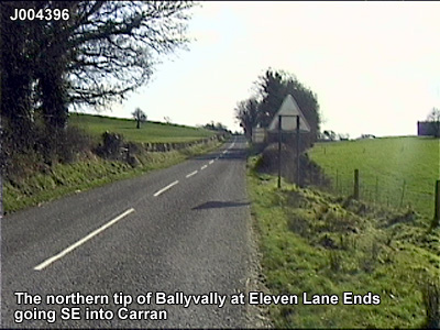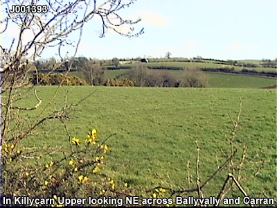
The townland of Ballyvally is in the parish of Loughgilly in Armagh County. It is labelled number 4 on the map. J003388
The Environment and Heritage Service Sites and Monuments Record (2002) notes the following in this townland:
Rath from the Early Christian Period.
SMR NO: ARM 017:019
GRIDREF: J00363854
CONDITION: TRACES ONLY
"Agriculture has removed most of the site, but a circular platform 52.4m SE -NW x 55m NESW survives. A curving field boundary has preserved the out line of the site at S & W, where a steep scarp falls c. 1m. Elsewhere only a faint scarp can be seen. A short length of bank stands c. 1 m high x 2.7m wide on the W side. Earlier reports suggest that this was more extensive & also note an external ditch which may be recent. The site marked on the 1835 & 1863 OS 6" maps. See SM7 file for further details. "Enclosure of uncertain period
SMR NO: ARM 017:045
GRIDREF: J00923828
CONDITION: NO VISIBLE REMAINS
"The site of a small circular "Fort" c.30m in diam. is shown on the OS 6" map of 1863. The monument was located immediately adjacent to the townland boundaries on the summit of a low drumlin, but no trace survives. BIBLIOGRAPHY:
PRONI records: OS/6/2/17/1 (Surveyed 1835. Engraved 1835.); OS/6/2/17/2 (Surveyed 1835. Engraved 1835. Revised 1860. Engraved 1863.); OS/6/2/17/3 (Surveyed 1835. Revised 1906. Published 1908. Reprinted 1929, 1932.); OS/6/2/17/4 (Surveyed 1906. Revised 1954-5. Levelled 1889, 1892 and 1906. Published 1958 (2 copies).); VAL/1B/219 (1st valuation records.); VAL/12B/15/19A, VAL/12B/15/19B, VAL/12B/15/19C, VAL/12B/15/19D, VAL/12B/15/19E (Valuation annual revision list.); VAL/2B/2/34A (Griffith valuation list.).