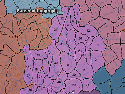
The townland of Rathconvil is in the parish of Loughgilly in Armagh County. It is not shown on the map.
Paterson (Armachiana, Vol. 16, p.25) notes:
...Rath, lis, etc. denote ringed enclosures and in their various forms are
common throughout the county...
Rathconvil - Conwell's rath or fort.
The Environment and Heritage Service Sites and Monuments Record (2002) notes the following in this townland:
Rath from the Early Christian Period.
SMR NO: ARM 017:020
GRIDREF: J02123840
CONDITION: SOME REMAINS
"An impressive circular earthwork on the summit of a drumlin. The interior is slightly raised and enclosed by a bank. This is 4.3m wide x 1.2m high except on the S where it is 2.4m high. The bank is interrupted by narrow gaps on E & W. Either or both of these may be original, & the E one shows traces of stone revetment on its N side. The site measures 49m across. A shallow ditch runs round the W & S sides. Persistent trampling by cattle has obscured the berm recorded in the 1 960s. See SM7 for further details. BIBLIOGRAPHY: PSAMNI 1940, 71"Rath from the Early Christian Period.
SMR NO: ARM 017:021
GRIDREF: J02263812
CONDITION: SOME REMAINS
"The 1863 OS 6" map shows a large circular earthwork, but little of this survives. A curved field boundary has helped the W perimeter, but most of the E half has been graded into the hillslope. The interior seems to have been cut into the hillside to create a level platform c.41 m across. This is defined on the W by a steep scarp falling 1.8m to the base of a ditch 4m wide & c.1.2m deep. On the uphill side the ditch is only 1m deep below the interior. See SM7 file for further details."
PRONI records: OS/6/2/17/1 (Surveyed 1835. Engraved 1835.); OS/6/2/17/2 (Surveyed 1835. Engraved 1835. Revised 1860. Engraved 1863.); OS/6/2/17/3 (Surveyed 1835. Revised 1906. Published 1908. Reprinted 1929, 1932.); OS/6/2/17/4 (Surveyed 1906. Revised 1954-5. Levelled 1889, 1892 and 1906. Published 1958 (2 copies).); OS/6/2/18/1 (Surveyed 1835. Engraved 1835.); OS/6/2/18/2 (Surveyed 1835. Engraved 1835. Revised 1860. Engraved 1863.); OS/6/2/18/3 (Surveyed 1835. Revised 1906. Published 1908.); OS/6/2/18/4 (Surveyed 1835. Revised 1906. Published 1908. (2 copies - 1st a reprint 1930, 1933 and 2nd reprint 1933, 1939, 1942, 1946, 1955.); OS/6/2/18/5 (Surveyed 1906. Revised 1954-5. Levelled 1892, 1901-2, 1904 and 1906. Published 1958 (2 copies).); VAL/1B/219 (1st valuation records.); VAL/12B/15/10A, VAL/12B/15/23A, VAL/12B/15/23B, VAL/12B/15/23C, VAL/12B/15/23D, VAL/12B/15/23E (Valuation annual revision list.); VAL/2B/2/34A (Griffith valuation list.).