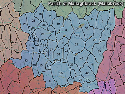
The townland of Rocks is in the parish of Mullaghbrack in Armagh County. It is labelled number 40 on the map (between 7, 26, 27 and 19).
PRONI records: OS/6/2/13/1 (Surveyed 1834-35. Engraved 1835.); OS/6/2/13/2 (Surveyed 1834-35. Revised 1860. Engraved 1863 (Stat file copy).); OS/6/2/13/3 (Surveyed 1834-35. Revised 1905-06. Published 1930.); OS/6/2/13/4 (Surveyed 1905-06. Revised 1954-55. Levelled 1888 and 1892 and 1902, 1905-1906. Levels part revised 1948. Published 1958. (2 copies).); VAL/1B/213 (1st valuation records.); VAL/12B/10/24A, VAL/12B/10/24B, VAL/12B/10/24C, VAL/12B/10/24D (Valuation annual revision list.); VAL/2B/2/12A (Griffith valuation list.).
In the accompanying audio recording, a pupil from Markethill Primary School talks about the townland of Redrock.

Use the audio controller to listen to this talk, given in 2003.