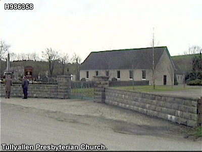
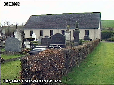
 H987358
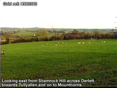
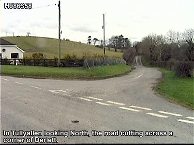
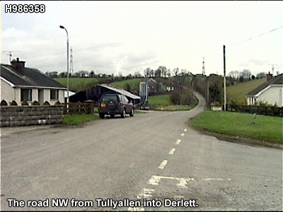
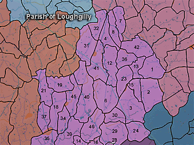
The townland of Tullyallen is in the parish of Loughgilly in Armagh County. It is labelled number 45 on the map.
The 1826 Schools Commission report describes the school in the townland:
"Tullyallan - A pay school under the care of Alexander McCullagh, of the Presbyterian denomination, who was in receipt of 15l per annum. The school was in good repair and attached to the local meeting house. It provided education for 40 scholars."
The Environment and Heritage Service Sites and Monuments Record (2002) notes the following in this townland:
Enclosure of uncertain period
SMR NO: ARM 021:035
Irish Grid Reference: H99003619
Townland: TULLYALLEN
CONDITION: No visible remains
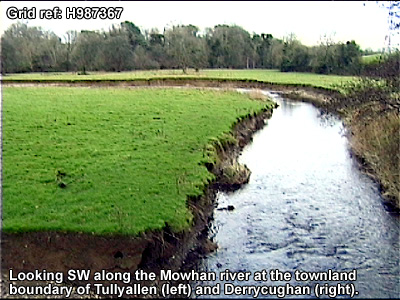
A small circular "Fort" c.35m in diam. is shown on the 1835 OS 6" map. Only a "Site of Fort" is shown on the 1863 edition, and there are now No visible remains. The monument was located in a level field next to a small stream which forms the townland boundary, and was overlooked by drumlins to the SW & NW.
Rath of the Early Christian Period.
SMR NO: ARM 021:036
Irish Grid Reference: H9o503550
Townland: TULLYALLEN
CONDITION: traces only
A small oval "Fort" c.25m NW-SE x 35m NE-SW is indicated on the 1835 OS 6" map & a similar earthwork is shown on the 1863 edition. The site has since been badly mutilated & most of the E half removed to make way for farm buildings. Part of the W perimeter survives incorporated into a field boundary. A bank, probably modern, stands c. O.5m above the interior & from the top it drops 2-2.5m to the outer ground level. The outer face of the bank shows a composition of clay & small stones.
PRONI records: OS/6/2/17/1 (Surveyed 1835. Engraved 1835.); OS/6/2/17/2 (Surveyed 1835. Engraved 1835. Revised 1860. Engraved 1863.); OS/6/2/17/3 (Surveyed 1835. Revised 1906. Published 1908. Reprinted 1929, 1932.); OS/6/2/17/4 (Surveyed 1906. Revised 1954-5. Levelled 1889, 1892 and 1906. Published 1958 (2 copies).); OS/6/2/21/1 (Surveyed 1834-35. Engraved 1835.); OS/6/2/21/2 (Surveyed 1834-35. Engraved 1835. Revised 1860. Revisions engraved 1863.); OS/6/2/21/3 (Surveyed 1834-35. Revised 1906. Published 1908. Reprinted 1921.); OS/6/2/21/4 (Surveyed 1834-35. Revised 1906. Published 1908. (2 copies), Reprints 1934-1957.); OS/6/2/21/5 (Surveyed 1906. Revised 1955. Levelled 1889 and 1906. Published 1958.); D.1594/53 (Map.); T.1147 (Title deeds to lands of Burges family.); VAL/1B/219 (1st valuation records.); VAL/12B/15/19D, VAL/12B/15/19E (Valuation annual revision list.); VAL/2B/2/34A (Griffith valuation list.).
 H987358

